Thursday 8 October 2009

Vanuatu

The seismic activity in the Pacific is continuing, and there have been a series of earthquakes over the past 24 hours near to Vanuatu, resulting in further tsunami warnings being issued.


The activity from last night has shown up very clearly on the seismometer (click on the image to see a larger version):


More here from The Telegraph and from the BBC.

Wednesday 30 September 2009

Samoa and Sumatra

The tsunami caused by the Samoan earthquake I posted about yesterday has killed more than 100 people and destroyed villages on several islands in the region.

The image below is a screenshot from Google Earth, with the USGS Real-Time Earthquakes overlay on. The BBC also has lots of articles, maps and video clips about the tsunami and its impacts.
Although I couldn't get it to display properly in the Humanities Block, I am told that we did manage to record the earthquakes in the Samoa region, and also another one today off the Indonesian island of Sumatra. The Sumatran earthquake is thought to have killed at least 75 people, and the death toll is expected to rise further.

All being well with the ICT side of things, I will upload the seismographs tomorrow, and you can keep an eye on the BGS Schools Seismology site, where other schools that are part of the project will no doubt be uploading data soon.

Tuesday 29 September 2009

Samoa eathquake and tsunami warning...

After some difficulties over the summer with the seismometer and the computer that is recording the data, we think that we now have it set up properly.

I have just seen on the news that there has been a series of earthquakes, including one at magnitude 8.0, in the Samoa Islands region of the Pacific. Tsunami warnings were issued, and the waves were expected to reach Hawaii.

Hopefully, we'll have managed to pick up the earthquake - will post again tomorrow with a seismograph if we have. In the meantime, USGS reports are here and a Google News search will provide you with plenty of information about the earthquakes and the areas affected.

Wednesday 24 June 2009

We're on the map!

SWAN now appears on the BGS's map of school seismology stations - it's official!!


Tuesday 23 June 2009

Our new seismometer!

As part of a project run by the 
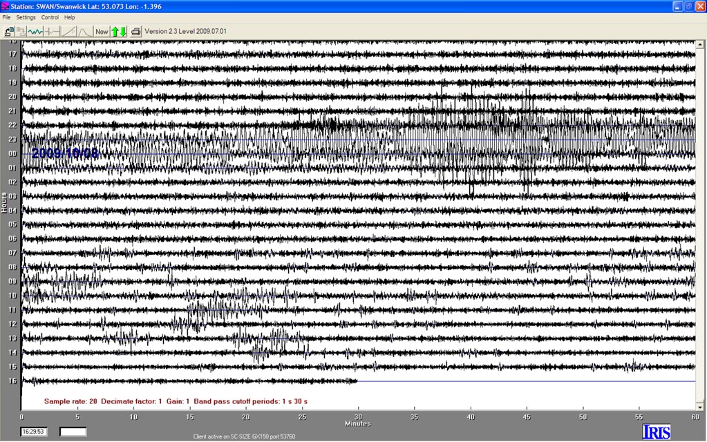
British Geological Survey, Miss Jubb and I spent the day at the University of Derby today, learning all about seismology (the study of earthquakes), and how to use SWAN - the brand new seismometer (just like the one below) that we will be setting up in the Science Block later this week.


The BGS, supported by the PES GB, have been running the UK Schools Seismology Project since 2007, and there are about 200 schools in the UK which already have seismometers that are able to detect earthquakes (and other events!!) all over the world.

Once our seismometer is up and running, we will be able to do all sorts of things with our data, including reporting back to the BGS when there is an earthquake event, and sharing our data with other schools across the UK and beyond.

We are very excited about being involved with the project, and are looking forward to bringing more real-life seismology into Geography and Science lessons! We'll post news about the project, and the interesting seismic events we detect here, and there will be a display appearing in the Science Block soon. Feel free to leave a comment if there's anything else you want to see here, or with your own seismic news!